Download WorldWide Telescope
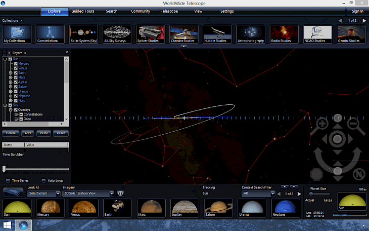
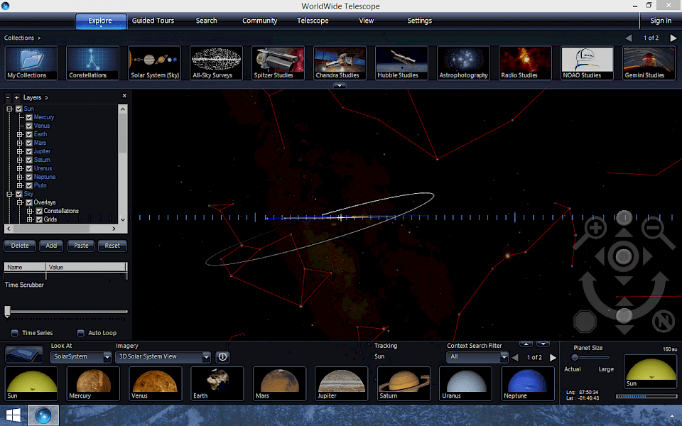
WorldWide Telescope allows you to explore real images obtained from some of the world’s most advanced telescopes. These are the same images that professional astronomers use in their research.
WorldWide Telescope can show many layers and types of data. A layer is an object or a dataset that can be placed into your viewing window. There are many types of layers you can create, such as importing 3D objects, or displaying aurora evolution over time overlaid on the high latitudes of the Earth. This tutorial will demonstrate how to create a layer that displays the traverse trail of the Curiosity rover on Mars within Gale Crater towards Aeolis Mons (Mt Sharp).

App can read Web Mapping Service (WMS) data from various data services. WMS data are served by various sources, and often show time-varying map overlays which can be displayed on the Earth or planets. In the example below, we will add a time-sequence of WMS maps showing wild fires in Yellowstone, but a similar process would be used to add other mapping data for other planets.
The timeline editor gives you true cinematic control for optimal animations and transitions. You can display highly detailed models of the International Space Station and the Gemini Observatory, or import your own 3D models, deeply detailed Mars imagery from the HiRISE Mars Reconnaissance Orbiter or control atmospheric and lighting to visualize Earth and other planets more realistically. Tilt and rotate controls let you explore planet surfaces in Solar System mode.
You can also print 3D terrains from Solar System bodies from WorldWide Telescope. This could be done to create a 3d model of mountains, canyons or other terrain. Currently 3D surface data is available for the Earth, the Moon and Mars. You can select a region and then use WorldWide Telescope to create a file for printing in the Standard Tessellation Language (STL) format.