
Download GPS Utility
GPS Utility is a free software to transfer data to/from a GPS receiver and store the data in PC files in one of the popular text formats. This is the ultimate application that provides management and manipulation of GPS information on Windows. Download GPS Utility for 32-bit and 64-bit system.
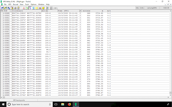
Convert between different map datums and many coordinate formats (Lat/Long, UTM/UPS, country grids, etc.). Filter information in various ways and waypoints sorted according to specified criteria. Track and route statistics can be transferred into other programs for analysis (i.e. spreadsheet applications).

Digitize routes, waypoints, and tracks by using a scanned or digital bitmap. Moreover, plot GPS information as a map and add map annotations in text or image form. GPS Utility can also be set to gather the current position at regular time intervals and to show the position on a moving map display.
An interface monitor is available for diagnostic purposes such as logging NMEA sentences. Show the current position, time, course, speed on the Position Console. GPS Utility is designed for editing and splicing together track and route segments. Convert tracks into a route and set of waypoints.
Search patterns can be generated in either track or route/waypoint forms. Other tools allow you to analyze and average the GPS information. Routes may be exported as Route cards. Easy transfer data to and from other GPS and CAD/CAM applications with support for popular import/export file formats.

All data is kept in a single file allowing you to select particular subsets for uploading to the GPS or for generating or copying into other files. The Freeware version has limited capacity (no. of waypoints and trackpoints) but you can register and get the shareware version which can handle more data.
Import and Export features in GPS Utility
- Import/Export
Anquet (AEF, ARF), Datasend, Delorme (AN1,GPL), EasyGPS, Fugawi, Gartrip, Google Earth, GPX applications, IGN Rando, ISYS (HWR), JRC (WPT), Kartex, Lowrance (USR), Magellan SD cards, MapSource, Maptech, MaxSea, MemoryMap, Navigo (DAT), Neptune (WAY), OziExplorer, Pathaway, Raymarine (FSH), Satmap (MAP), Tom Tom navigator, |Trimble (ASC), Tracklogs, Waypoint+. plus various GIS applications such as MapInfo, Manifold, AutoCad, Arcview, (DXF, DBF, SHP, MIF files, etc.) - Import
AA milemaster, Anquet (ADF), Autoroute Express (*.ARX), COR, IGS, Delorme (SA..), Globalsat (GSD), G7toWin, MapSource (MPS), Meri-CD (MCD), Quodfish (UDB), Routemaster, SeaClear (SRW), SeaPro (GXF), SEG P1, Sony Ericsson, Streets and Trips (*.EST), Teletype Pro. - Export
Autoroute Express pushpins, GPS Topographer, Route cards, Surfer, CSV files for database/spreadsheet programs - Image Export
Export of Google Earth Custom Overlay bitmap files (KML, KMZ)